One of the joys involved in answering reference questions submitted to the Geography and Map Division is that some questions (the fun ones!) frequently involve extensive research in the Library’s cartographic holdings. Staff of the Geography and Map Division are also fortunate to be able to consult photocopies of maps from other institutions, early photographs …
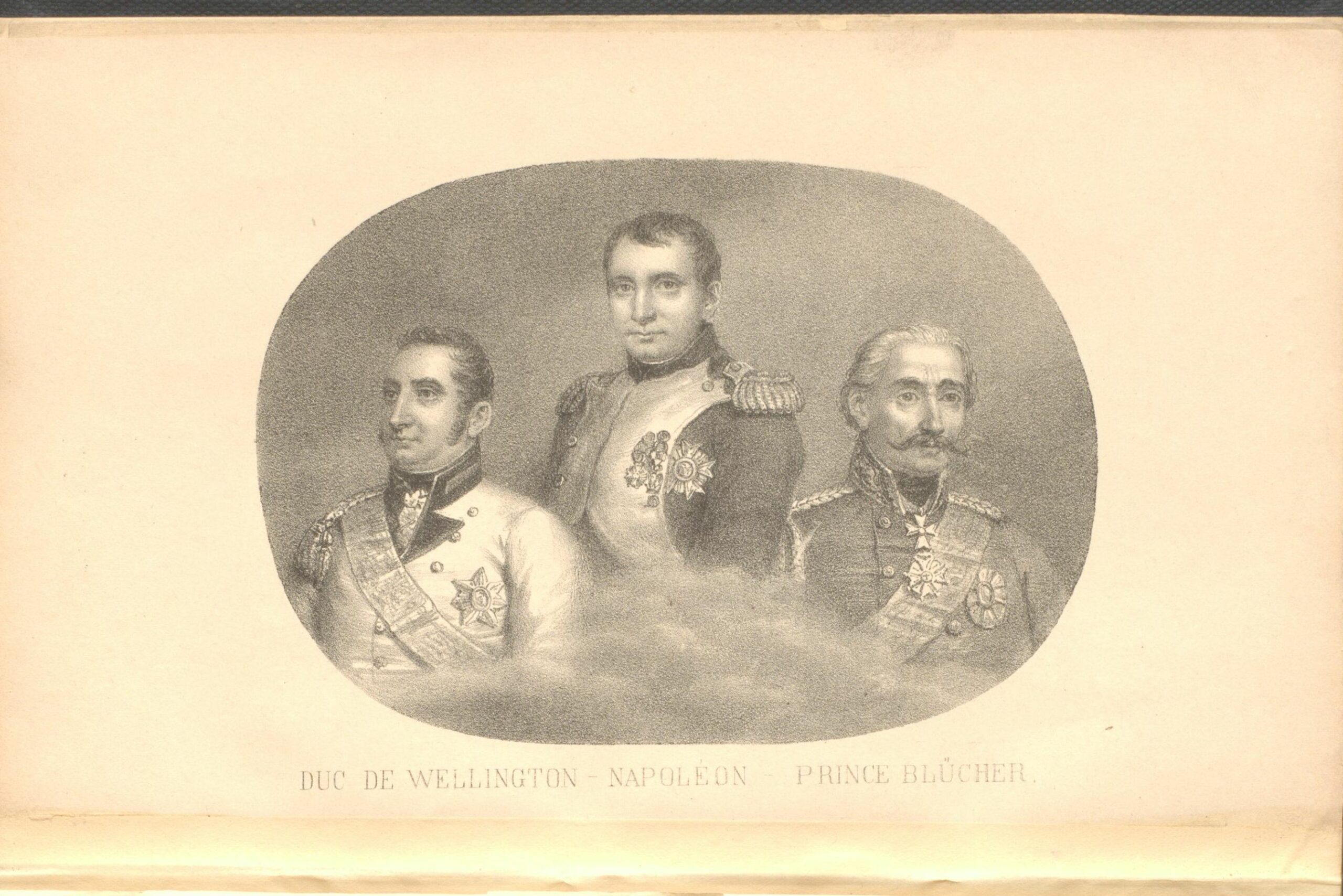
The Napoleonic Wars began in 1803 and lasted until Napoleon’s defeat at Waterloo in 1815. The Geography and Map Division holds numerous maps of the battle. I am sharing images of a few of my favorites. I would like to begin with a brief summary of Napoleon’s final battle and the events that led to …
This is a guest post by Kelly Bilz, Librarian-in-Residence in the Geography and Map Division. If you’re buying a souvenir map, would you rather it be “historical,” or “hysterical”? The Lindgren Brothers aimed for the latter in their set of maps of American landmarks. With their distinct style—a yellow background, a blue (or sometimes red) border, and …